
Read the map carefully
The county line is more consequential than the mailing address. Confirm jurisdiction, schools, utilities, emergency services, and taxes for the specific parcel.
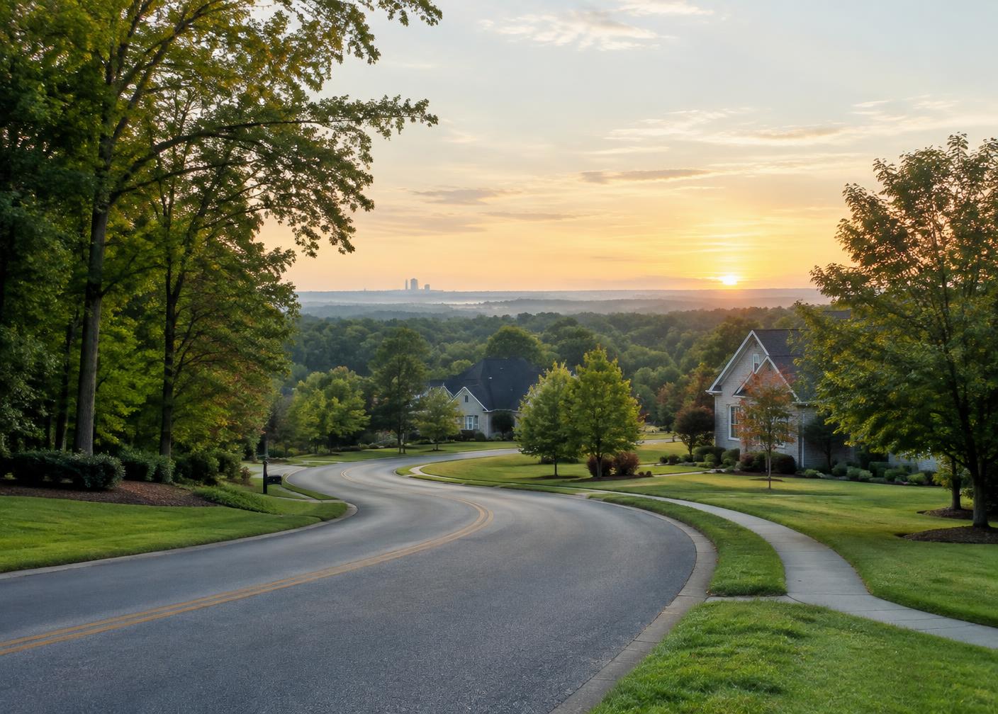
Highland Creek & Moss Creek / Location & Map
This is a borderland community in the best sense: close to I-85, Concord Mills, University City, and growing employment centers across Mecklenburg and Cabarrus counties.
At a glance
Spans Charlotte and Concord addresses across Mecklenburg and Cabarrus counties.
Located in northwest Concord near NC-73 and Odell School Road.
I-85 and I-485 connect the corridor with Uptown, the airport, and the wider region.
The deeper view
The county line is more consequential than the mailing address. Confirm jurisdiction, schools, utilities, emergency services, and taxes for the specific parcel.
University City, Concord Mills, Afton Ridge, and Harrisburg are nearby anchors for employment, retail, healthcare, and entertainment.
Travel times vary sharply with event traffic and peak periods. Test your actual route at the hours you expect to drive it.
In practice
The first layer is the legal parcel: county, municipality, tax jurisdiction and recorded boundaries. Use county records for that, not the city written in a listing description. Highland Creek’s county crossing makes this especially important.
The second layer is daily movement. Test routes toward work, school, medical care and shopping at the hours you expect to travel. I-85 and I-485 provide regional access, but an on-ramp on a map does not establish a predictable commute.
The third layer is neighborhood fit: the walking route to recreation, the street’s traffic pattern and the home’s exposure to nearby roads or open space. Comparing all three layers makes Highland Creek and Moss Creek more useful than a broad Charlotte-versus-Concord shorthand.
Your checklist
Questions & answers
I-485 and I-85 are the main regional connections; local corridors include Prosperity Church Road, Eastfield Road, Poplar Tent Road and NC-73.
Travel time depends on the address, route and time of day. Test the drive at the hours you will travel rather than relying on an estimate.
It determines tax rates, school district, permitting authority and several public services.
Explore the corridor
Filter schools, restaurants, parks and destinations; choose a place to center the map.
This interactive map is provided by OpenStreetMap, which receives your IP address when it loads.
About embedded mapsSelected location
Master-planned community spanning Charlotte and Concord; map point is approximate.
Open larger mapPoints, routes, distances and travel times are approximate orientation only, not parcel or school boundaries. Hours, ownership and availability of local businesses change. Verify school assignment by address and business details before visiting.
Keep exploring
Sources and further reading: Highland Creek community · Moss Creek neighborhood · Community school guide. Details may change; confirm at the source.